The American Revolution – Primary Sources
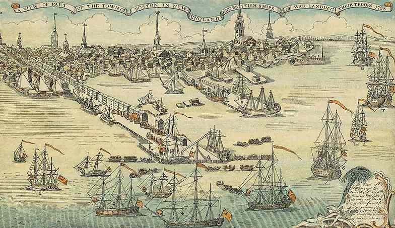
The American Revolution was a colonial revolt against British rule that lasted from 1765 to 1783. 13 colonies fought, with assistance from France, from 1775 to 1783 in the American Revolutionary War. This resulted in a victory for the rebellious colonies and the declaration of independence from Great Britain. Tension had mounted between colonials and the British authorities for some time, most famously over the imposition of tax on Tea that was imported into the Thirteen Colonies.
Links to sites hosting Primary Source Material about the American Revolution and Revolutionary Wars
American Journeys. Eyewitness accounts of American exploration, expansion and the Revolutionary Wars. Includes a teachers section.
Images from the American Revolution. From the American National Archives.
PBS Learning Media. Online exhibit and learning resources on the American Revolution. Makes extensive use of a range of Primary Sources.
American Revolution from a British Perspective. Range of pamphlets, documents and images from the British point of view.
Bringing Connecticut History to the Classroom. Selection of Primary Sources, including images, selected for use in lessons.
History of Massachusetts. Collection of Primary Sources from the Revolutionary period. Focus is on governmental documents.
America in Class. Aimed at the US Core Curriculum this site includes source material alongside ‘framing questions’ that address the Common Core Curriculum Standards. These are adaptable for use in lessons elsewhere.
Library of Congress. Hosts digitised versions of documents. Again, these are mainly centred on official documents.
Docs Teach. Learning resources and accompanying Primary Sources from the American National Archive. It is quite extensive and caters for a large range of age and abilities.
Rochambeau Map Collection. French Maps of the 13 Colonies from the Revolutionary era. An online exhibition from the Library of Congress.
Early Americas Digital Archive. Covers the period from the ‘discovery’ of the Americas by Columbus to c1820.
American Shores. Maps of the Atlantic Coastline of the United States up to 1820.
Do you want to find other Primary Sources for use in your lessons, or for research purposes? Visit our Primary Sources page to see which areas we currently have a range of sources for.